GIS Technology: ArcGIS Training in Abuja Nigeria
Master Geographic Information Systems (GIS) with BSCDC
Kickstart your journey into GIS Technology with ArcGIS at BSCDC, Africa’s leading tech and digital skills training center. Learn how to collect, analyze, and visualize geographic data to solve real-world problems using industry-standard GIS tools.
Maps have changed.
They’re no longer just directions from point A to B.
Now they answer deeper questions.
- Where should a business expand?
- Which areas are at risk of flooding?
- How do cities grow… and why?
That’s the power of GIS.
Aligned with BSCDC Africa’s mission to deliver affordable, practical, hands-on tech education, our hybrid online and physical ArcGIS training equips beginners and professionals to become job-ready GIS analysts and geospatial experts across Nigeria, Africa, and globally.
The Best ArcGIS Training in Nigeria and Africa
GIS (Geographic Information Systems) is widely used in urban planning, environmental science, logistics, oil and gas, and government agencies.
At Bizmarrow Skills and Career Development Center (BSCDC), you’ll learn how to:
- Work with ArcGIS software for mapping and spatial analysis
- Collect, manage, and analyze geographic data
- Create maps, dashboards, and geospatial reports
- Perform spatial analysis and decision-making
- Apply GIS solutions to real-world problems
Whether you’re searching for:
- Best GIS training in Abuja
- ArcGIS courses in Lagos, Kano, Port Harcourt
- GIS training in Kenya, Ghana, South Africa
BSCDC helps you go from “just maps” to “insightful geospatial analysis.”
What is GIS and ArcGIS?
GIS is a system that allows you to capture, store, analyze, and visualize geographic data.
ArcGIS is one of the most powerful tools used globally for GIS analysis.
Think of it this way.
Instead of looking at data in tables…
You see it on a map.
And once you see it, patterns become obvious.
Why Learn GIS Technology?
Location matters. More than people realize.
With GIS skills, you can:
- Analyze geographic and spatial data
- Support urban planning and development
- Work in environmental monitoring and research
- Improve logistics, transportation, and business decisions
GIS is used in industries like:
- Oil and gas
- Agriculture
- Urban planning
- Disaster management
- Telecommunications
Why Our ArcGIS Training is Different
Some courses teach mapping.
We teach analysis.
At BSCDC, you’ll:
- Build skills that apply across industries
- Work with real geographic datasets
- Solve real-world spatial problems
- Learn how to interpret and present geospatial data
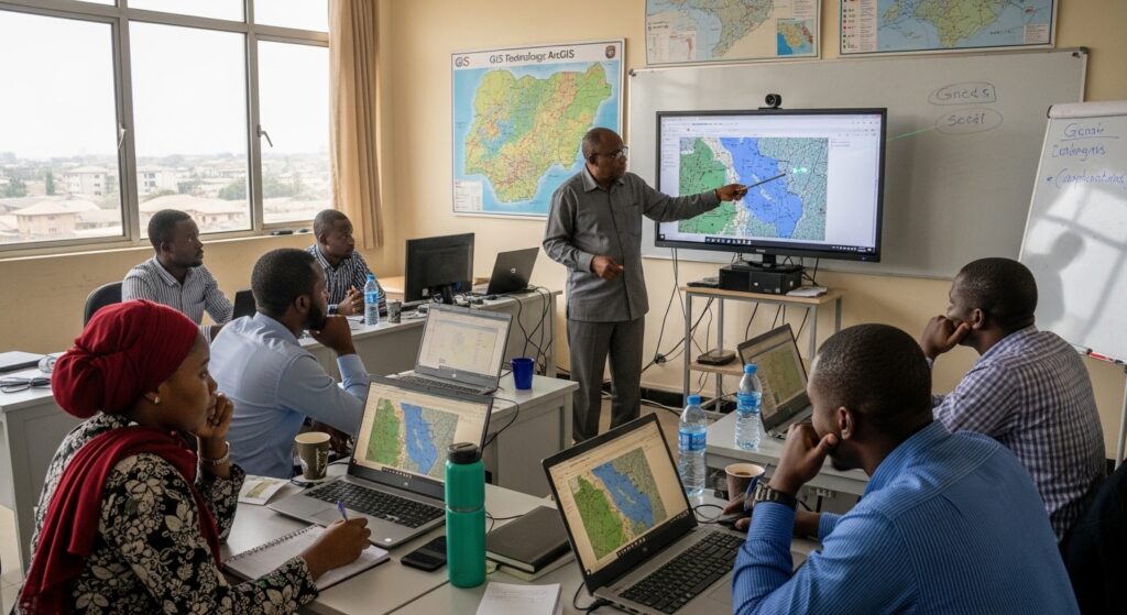
Hands-On, Project-Based Learning
From early on, you’ll start working on:
- Creating digital maps
- Analyzing spatial data
- Building geospatial dashboards
- Applying GIS to real-life scenarios
At first, it’s layers and coordinates.
Then it becomes insight.
Real Projects Before Graduation
You won’t just learn tools. You’ll apply them.
You’ll graduate with:
- Portfolio-ready GIS projects
- Real-world spatial analysis experience
- Confidence to work in GIS-related roles
Learn from Industry Professionals
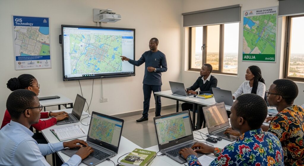
Our trainers bring real-world experience in:
- GIS and spatial analysis
- Environmental and urban data projects
- Mapping and geospatial technologies
So you’re learning how GIS is actually used in the field.
- Flexible Hybrid Learning
- Physical classes in Abuja
- Live online classes for Lagos, Kano, Port Harcourt
- Open to students across Africa and globally
Mentorship and Career Support
We help you go beyond training:
- Build a strong GIS portfolio
- Prepare for geospatial careers
- Access freelance and remote opportunities
- Position yourself in a growing global field
What You Will Learn in ArcGIS Training
This course is structured to take you from beginner to confident GIS analyst.
Portfolio-ready GIS projectsospatial analysis.”
- Introduction to GIS
- Fundamentals of GIS and spatial data
- Types of geographic data
- GIS applications across industries
- ArcGIS Software
- Navigating ArcGIS interface
- Creating and managing maps
- Working with layers and datasets
- Spatial Analysis
- Geoprocessing tools
- Data analysis and interpretation
- Identifying patterns and trends
- Data Collection & Management
- Importing and managing spatial data
- GPS data integration
- Data cleaning and organization
- Map Design & Visualization
- Creating professional maps
- Data visualization techniques
- Presenting geospatial insights
- Real-World Projects
- Urban planning and land use mapping
- Environmental and risk analysis
Learn GIS Across Nigeria and Africa
GIS skills are accessible wherever you are:
- Physical classes in Abuja
- Online classes for Lagos, Kano, Port Harcourt
- Students from Kenya, Ghana, South Africa
- International students from the UK, USA, Canada
Geospatial skills travel well.
Wherever there’s data… there’s a need for GIS.
Why GIS Skills Are in High Demand
Organizations rely on location-based data for decisions.
With GIS skills, you can:
- Work as a GIS analyst or geospatial specialist
- Join government, environmental, or tech organizations
- Offer freelance mapping and analysis services
- Support planning, logistics, and research projects
Who Should Take This Training
This course is perfect for:
- Beginners interested in GIS and mapping
- Engineers, surveyors, and planners
- Environmental scientists and researchers
- Professionals working with geographic data
Why BSCDC is a Leading GIS Training Center in Africa
Students across Africa choose BSCDC because it’s practical:
- Over 14 years of experience in tech training
- Hands-on, project-based learning
- Mentorship that supports real growth
- Affordable training with global standards
We don’t just teach GIS.
We teach you how to understand the world through data.ment.
Start Your GIS Career Today
GIS is more than mapping.
It’s understanding the world through location and data.
Learn practical, hands-on skills to:
- Analyze and visualize geographic data
- Build maps and spatial reports
- Work in geospatial, environmental, and planning roles
- Build a future-proof career
Enroll in ArcGIS Training at BSCDC
Join learners across Nigeria and Africa building real, practical GIS skills.
Map. Analyze. Understand.
Turn location data into insight.
Bizmarrow Skills and Career Development Center (BSCDC)
Abuja, Nigeria | Training Africa’s Next Generation of GIS Professionals
Your journey into geospatial technology starts now.
Frequently Asked Questions (FAQs)
-
Where can I learn GIS in Abuja?
BSCDC offers practical, hands-on ArcGIS training with real projects.
-
Can I learn GIS online in Nigeria or Africa?
Yes. Our live online classes are accessible globally.
-
Do I need prior experience?
No. Beginners can start with guided instruction.
-
How long does it take to learn GIS?
You can build practical GIS skills within a few months.
-
Can I earn income after this training?
Yes. GIS skills are valuable in multiple industries.
-
Is GIS in demand in Africa?
Yes. It is used in planning, environmental management, and business analysis.
-
Can international students enroll?
Yes. Students across Africa and globally can join online.
-
Will I work on real GIS projects?
Yes. You’ll build maps and perform spatial analysis on real datasets.